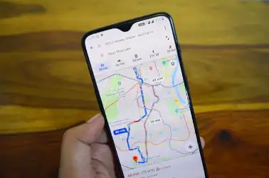
San Francisco: The Washington Post reported the outlines of Kashmir are shown in dotted lines suggesting "disputed" territory. But for those viewing within India it shows ordinary as part of India, within the country. Google shows the borders of several other countries and looks differently on Google Maps for those checking from outside the country. According to Google, it follows local legislation wherever local versions of Google Maps are available.
"Our goal is always to provide the most comprehensive and accurate map possible based on ground truth," Ethan Russell, Director of Product Management for Google Maps, was quoted as saying in a statement by The Post.
More than 220 countries and 200 million. surfaced information about places and Businesses are mapped on Google Maps. Along with using satellite imageryGoogle Maps also take contributions by volunteers, AI advanced technologies and Machine Learning technologies for Mapping.
While Google dominates the mobile maps market, Apple Maps comes second in terms of popularity. An Apple spokeswoman told The Washington Post that the iPhone maker is responsive to local laws with respect to border and place name labelling.


